What's so special about the Everglades and Big Cypress National Preserve?
I'm going to post this as a featured post and then update is periodically. First iteration of it is going to be just photos. Hopefully videos soon. Then some commentary.
A little context first
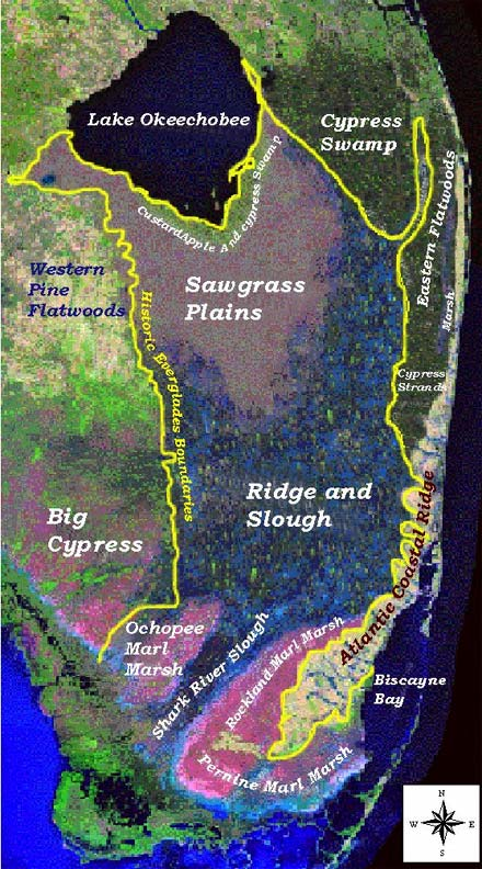
I will say this at first though– the "Everglades" is more, far more, than Everglades National Park. The park is a tiny portion of what is known as the Everglades, a vast "river of grass" that functionally includes almost the entirety of the southern part of the Florida peninsula, including parts of Miami, which sits on the Atlantic Coastal Ridge– about 20 feet above sea level in places.
The "River of Grass" section of the Everglades, the sawgrass plains in the image below, is the historic Everglades, to my understanding. But the bordering regions like Big Cypress, a forest of bald cypress with sawgrass prairies mixed in, are hard to distinguish from the river of grass, which is sawgrass praire with "cypress domes," micro bald cypress forests, mixed in.
The Miccosukee, the offshoot tribe of the Seminole Indians, who have called this area home and a refuge from settler invasion for generations, say "it is all the Everglades" and who are we to disagree?
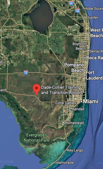
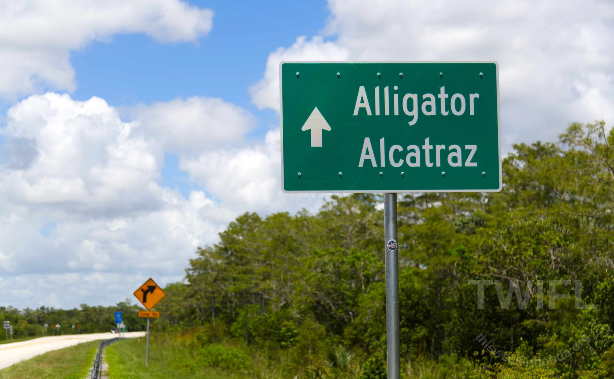
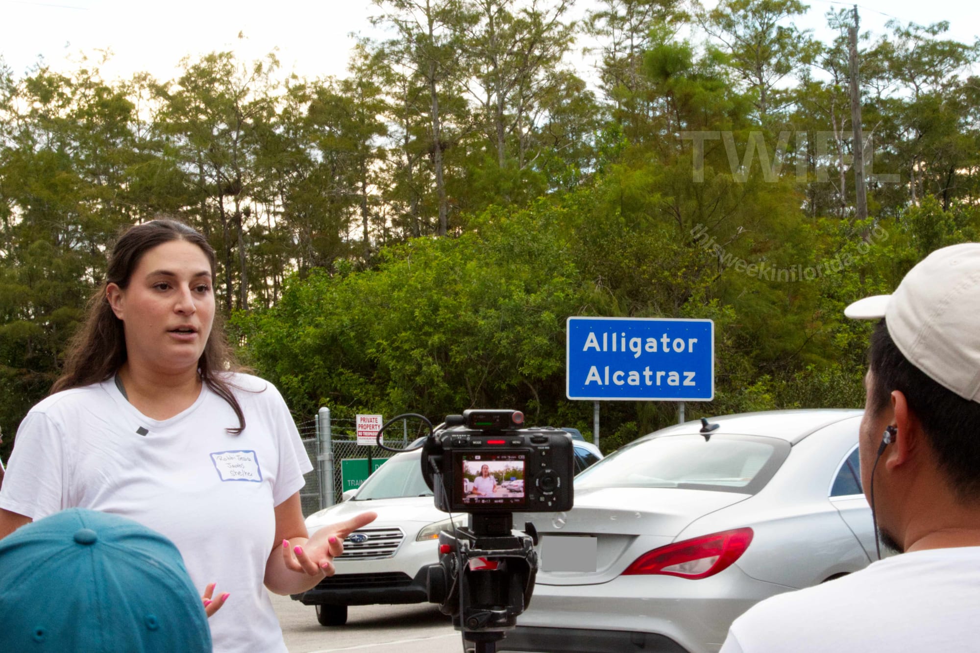
The Dade-Collier Training and Transition Airport, presently called The South Florida Detention Center and known by its racist meme name, "Alligator Alcatraz," sits just on the edge of the Shark River Slough (Ocopee Marl Marsh is surrounded by Shark River Slough) and Big Cypress.
Anyway, what's near that red pin on the second image? Well, that red pin, "A***** A*****" is directly in between TWO National Park visitors centers, a scant 20 miles apart from one another.
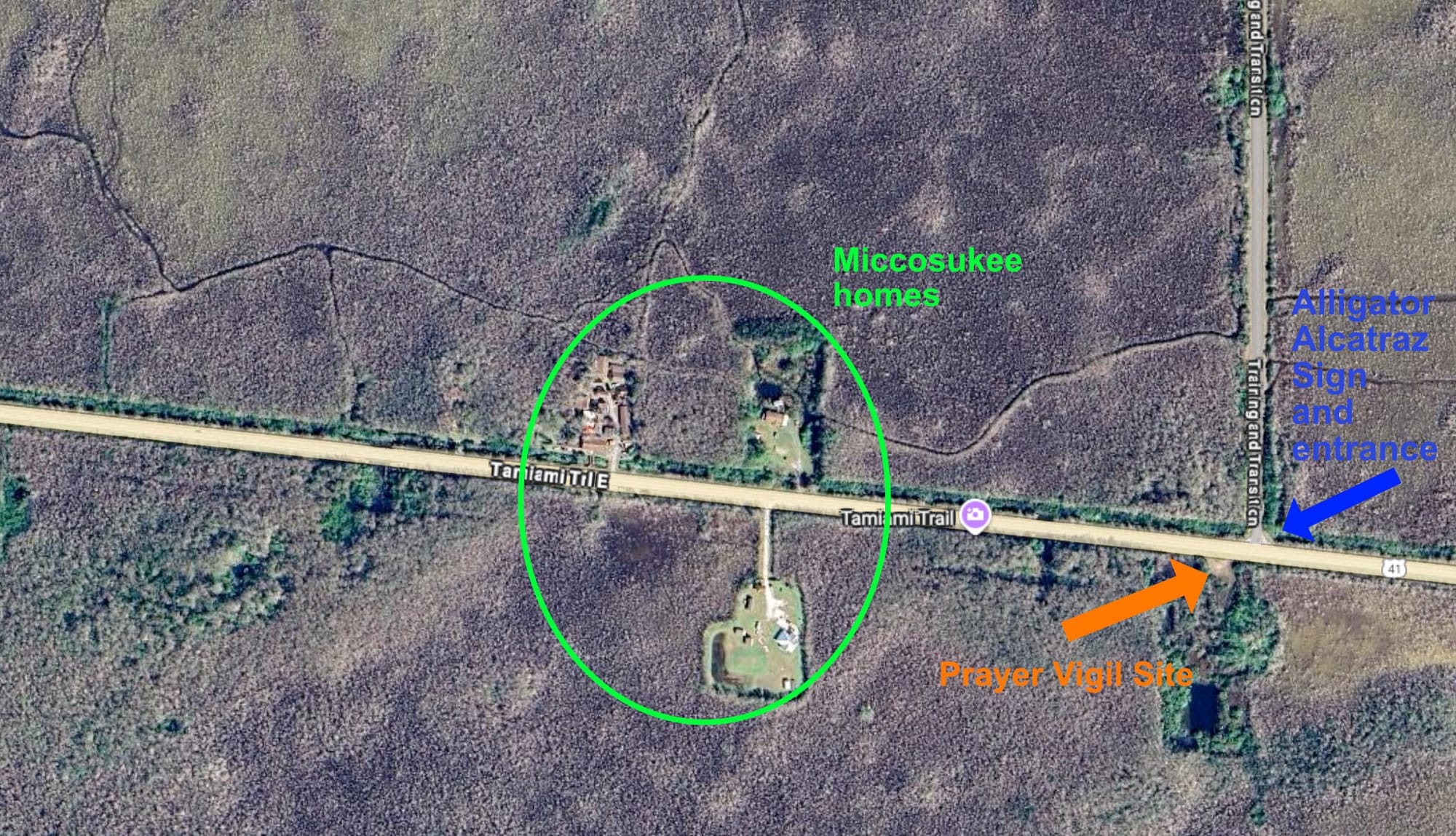
And then there's this. This is a close up of the image above with the road gate to A***** A***** the fork in the road on the right. The stuff in the middle? Those are houses owned by members of the Miccosukee Tribe of Indians and that spot is a bus stop for school busses.
So what's there?
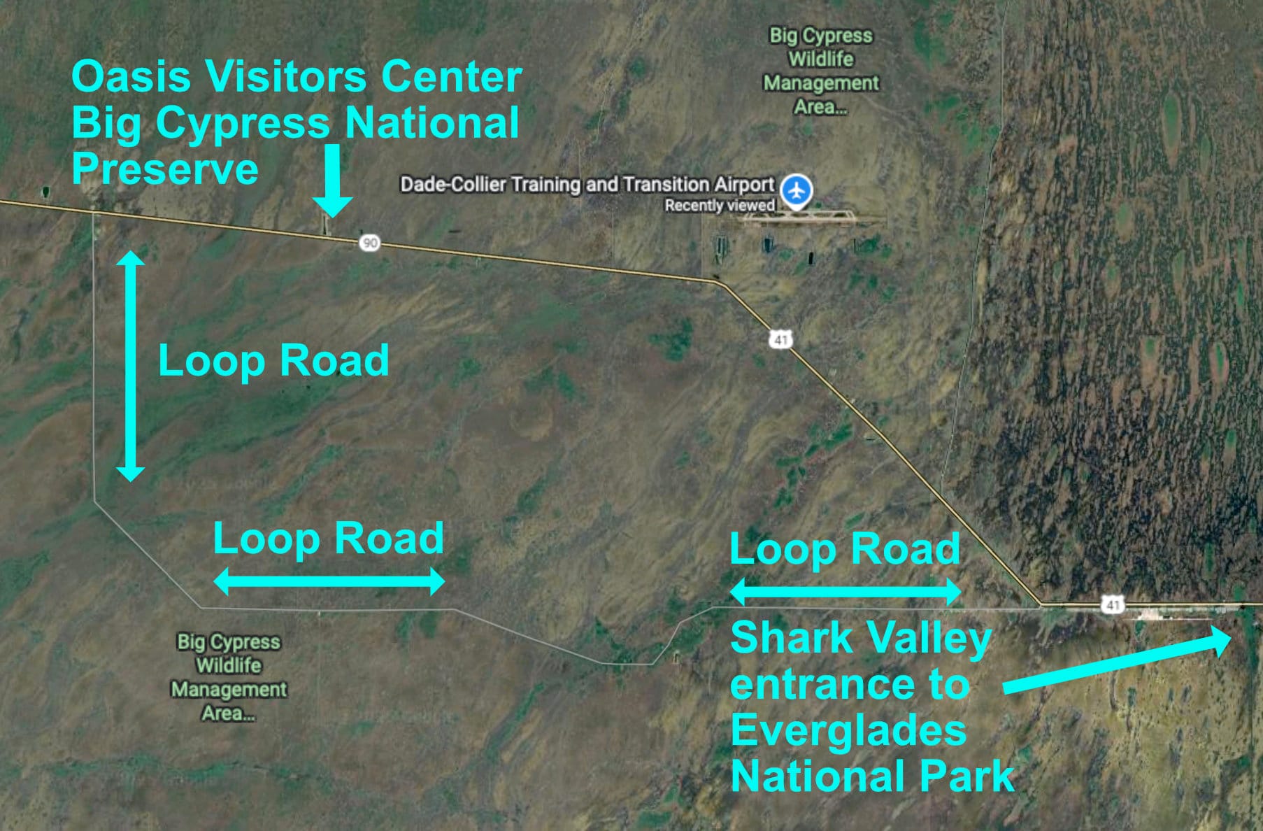
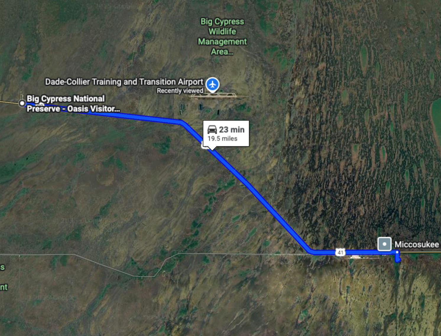
So what's there and why should you care? Well, let me show you. All of the pictures on this page, unless otherwise clearly noted (like the maps) were taken in the area in the map above. Some along US 41, the yellow line road in the map above. Some where taken along Loop Road, which is indicated on the map and connects to US 41 at about mile marker 40 on the east side and then again at about mile marker 59 on the west side.
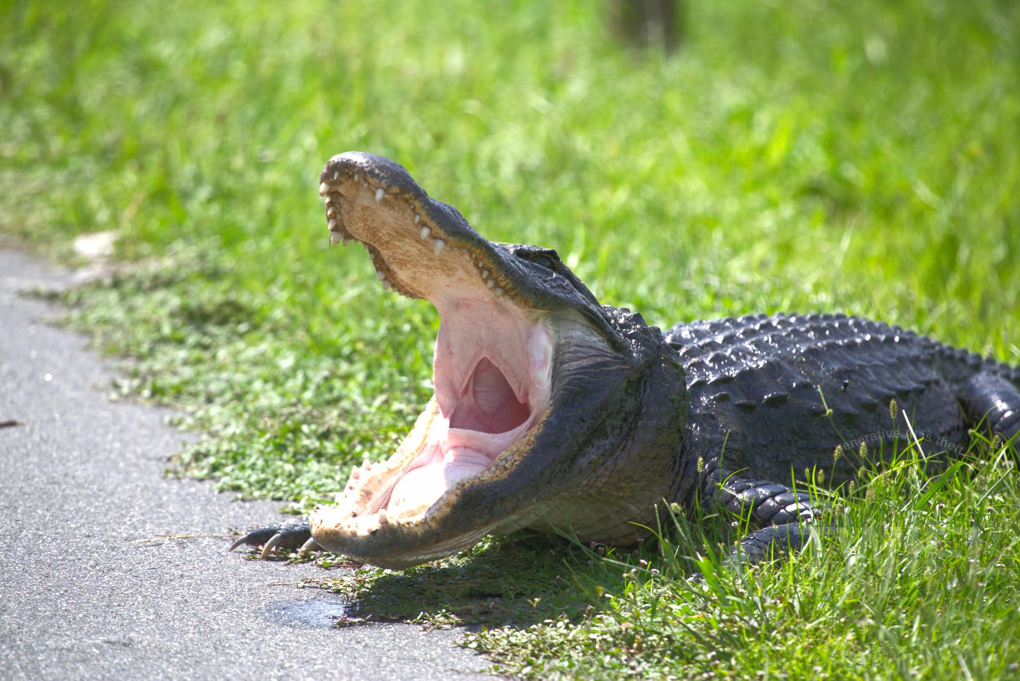
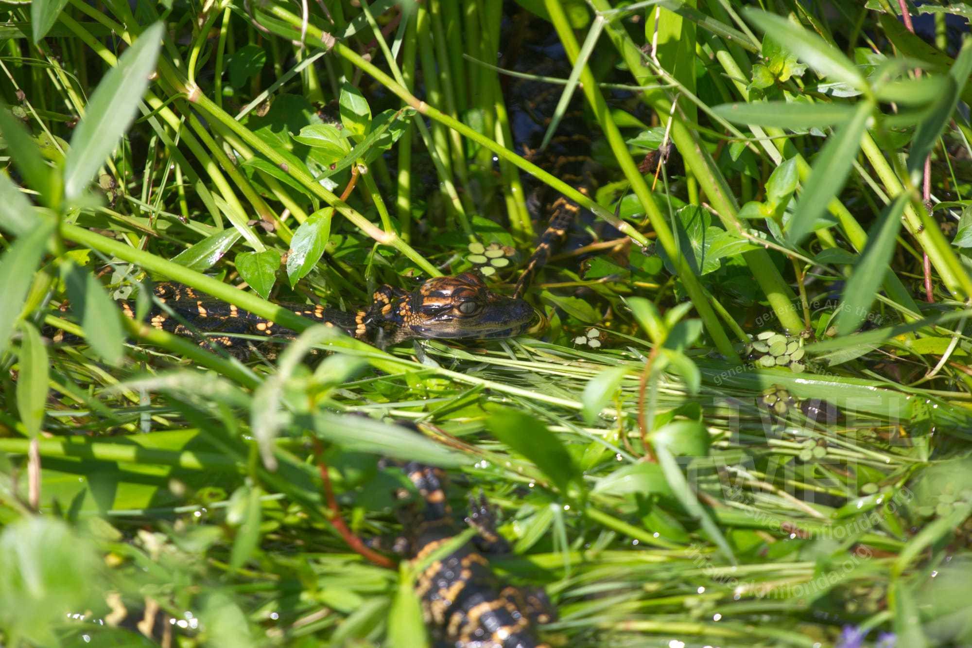
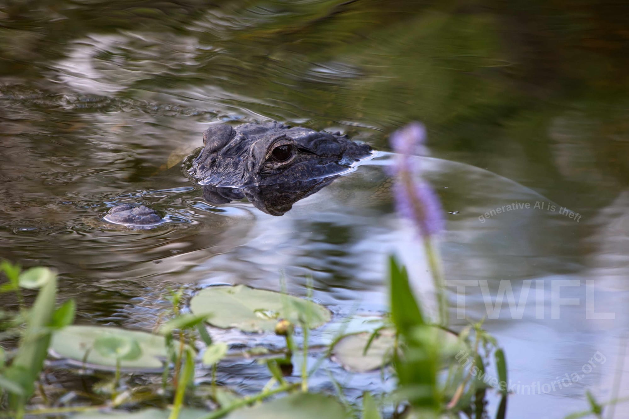
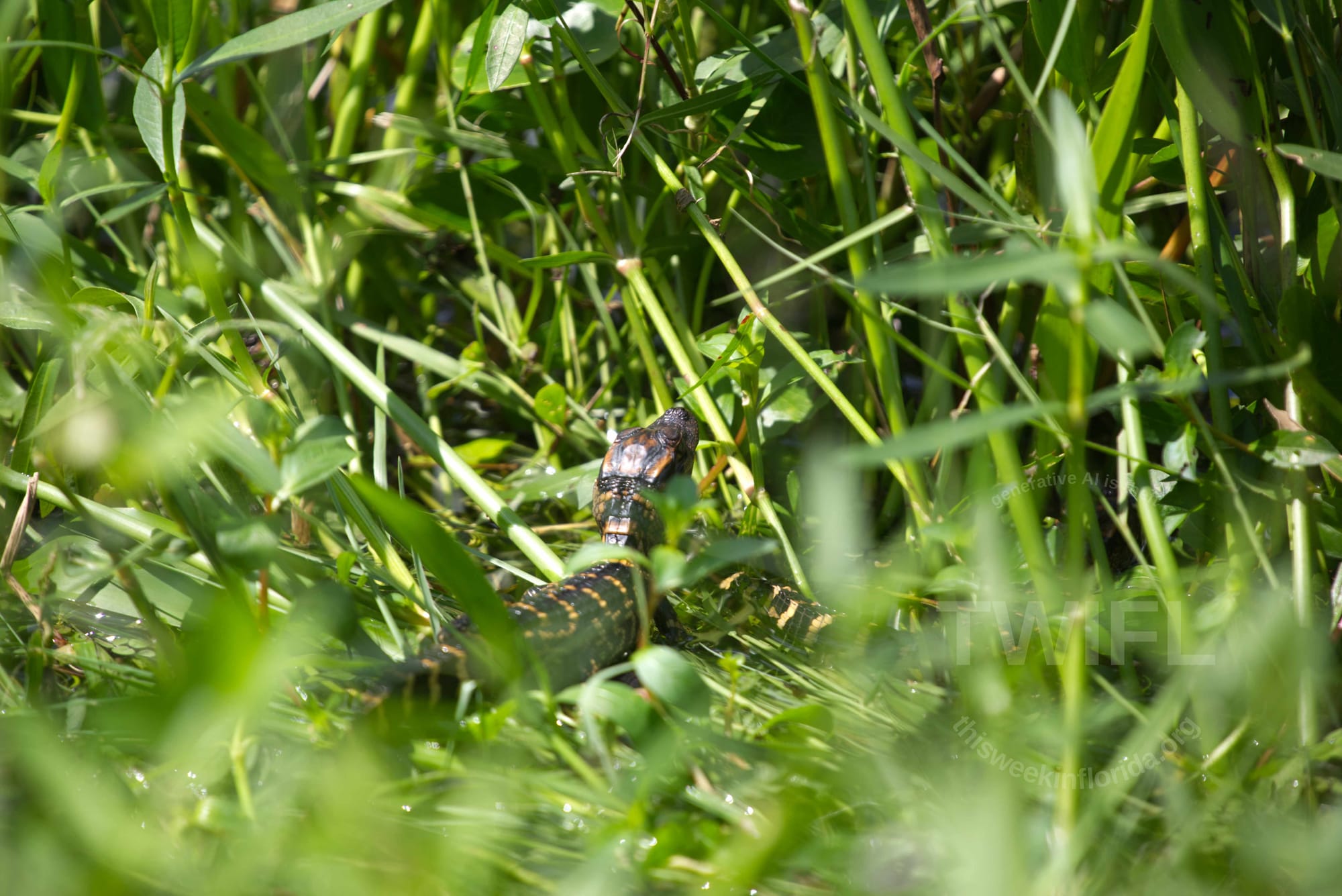
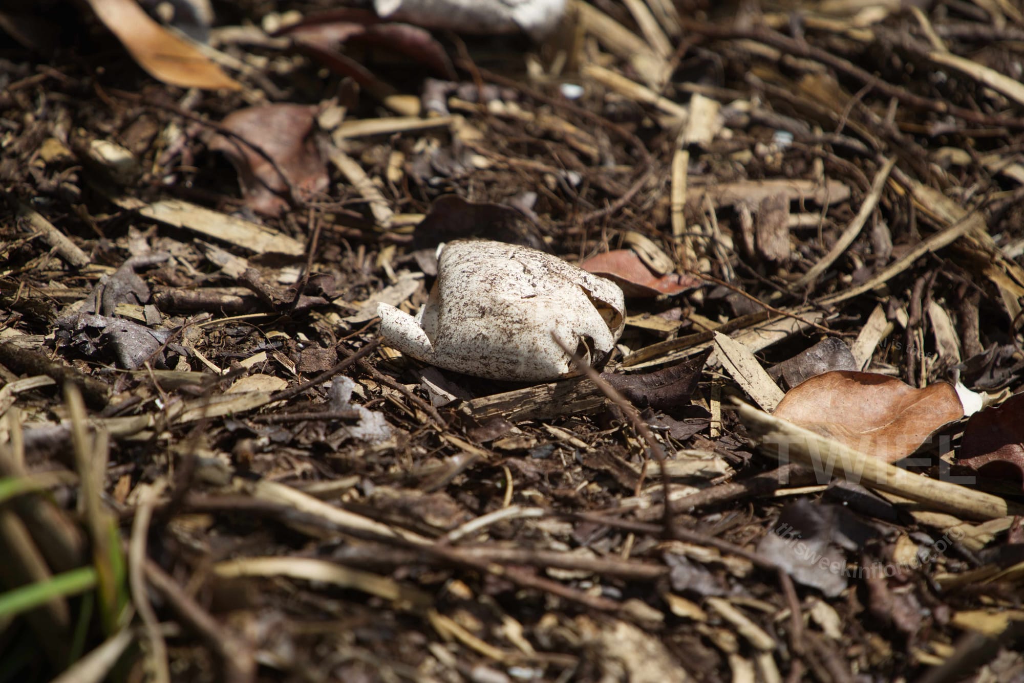
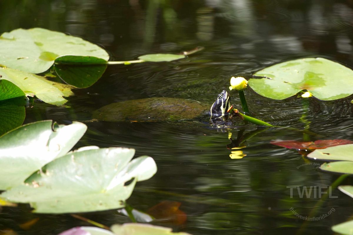
Two photos of momma gator's babies, one photo of momma gator watching her baby from the water and a picture of an escaped alligator egg. These photos were taken on September 16, 2025 at Shark Valley, about 150 yards from the Visitor Center Parking Lot. Photo Credits Philip Cardella TWIFL Copyright 2025.
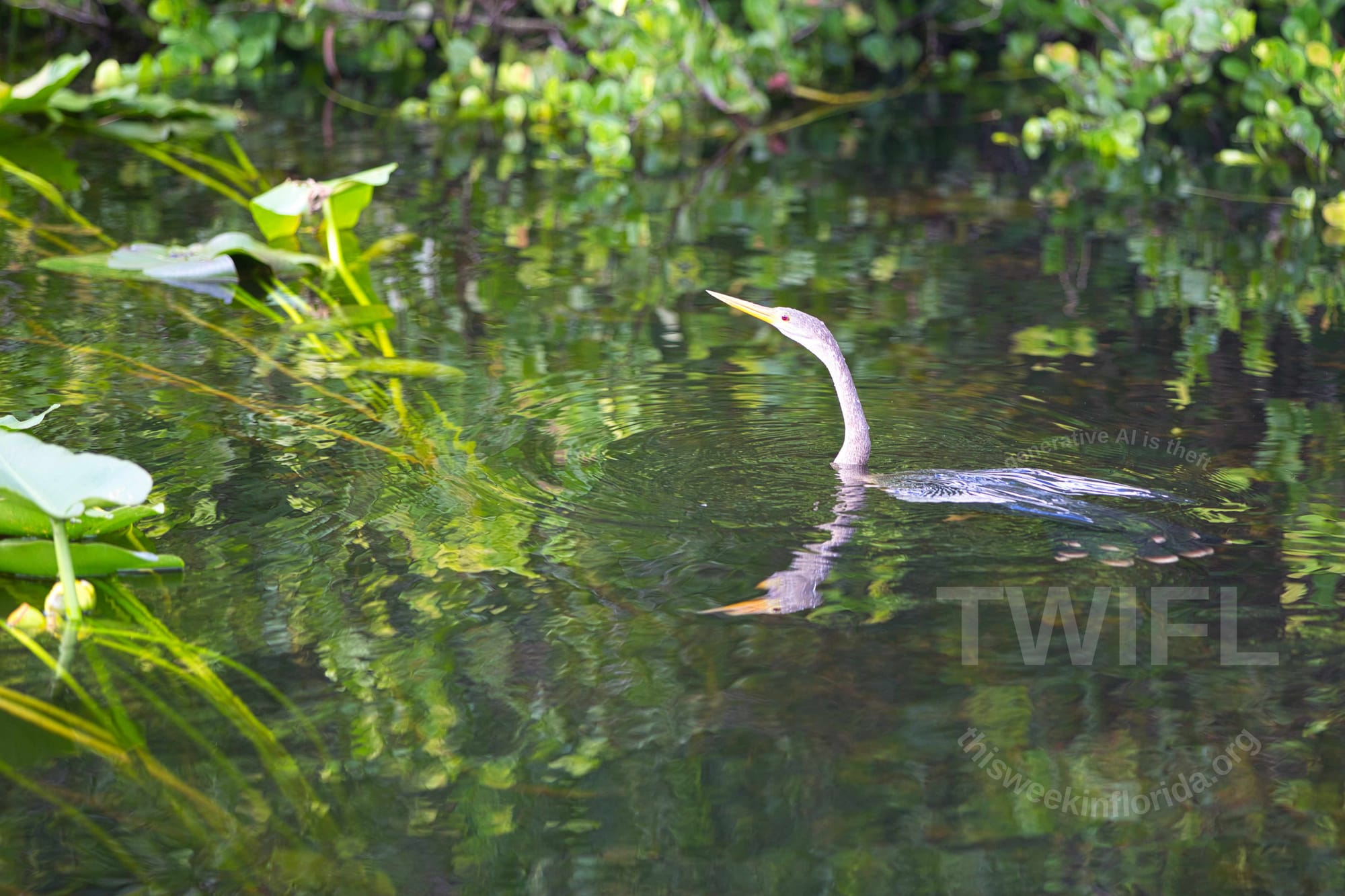
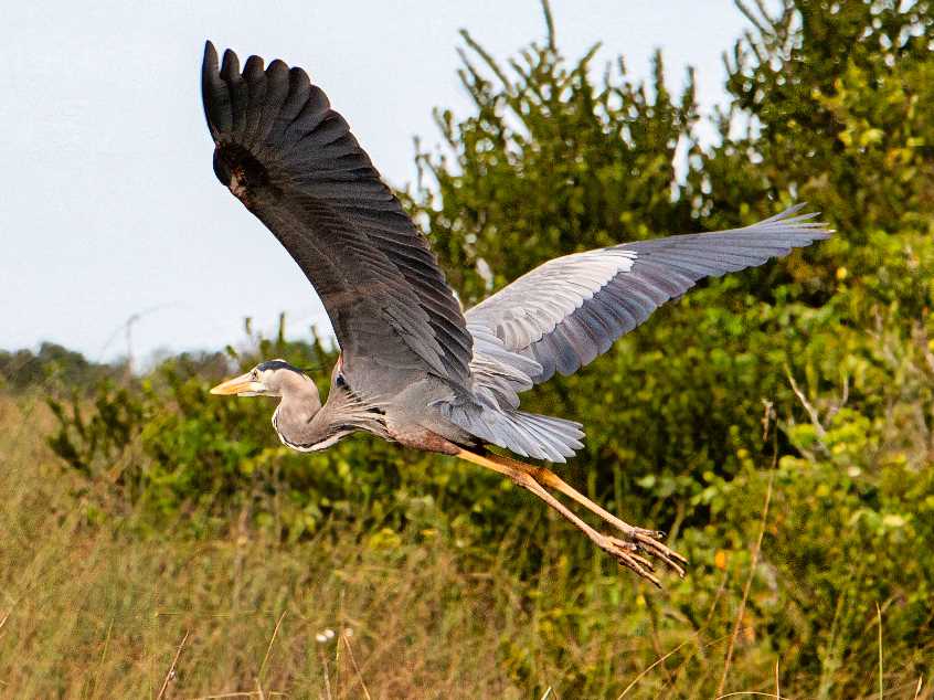
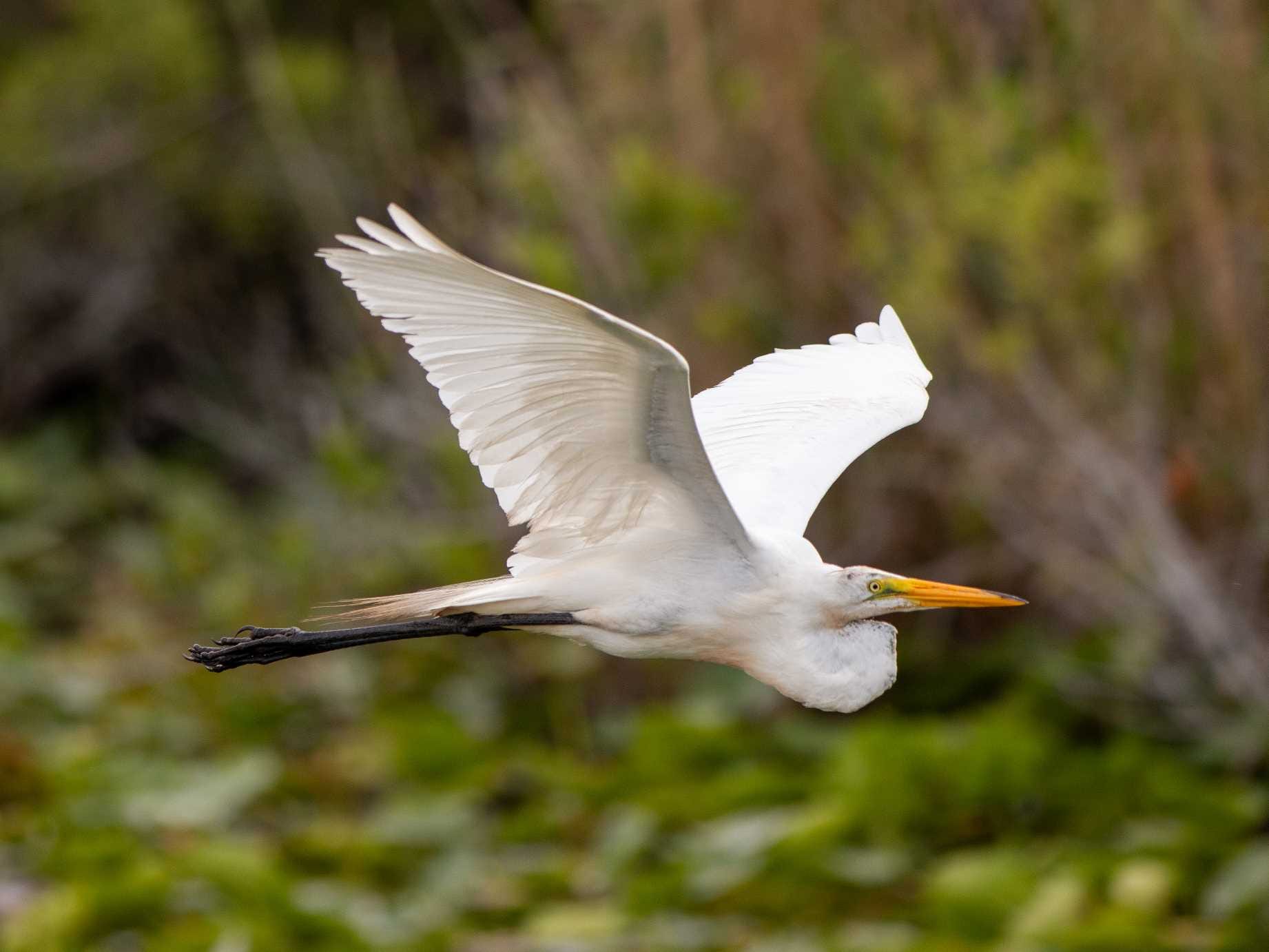
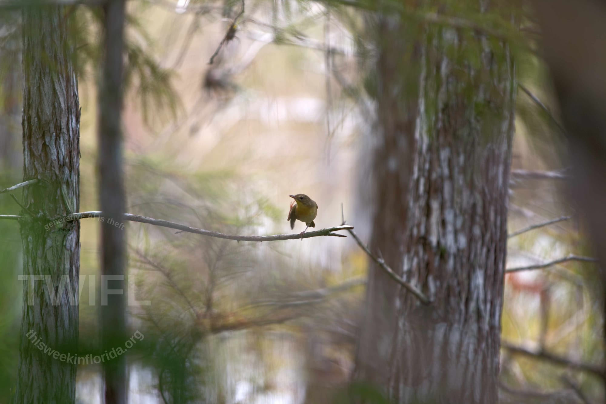
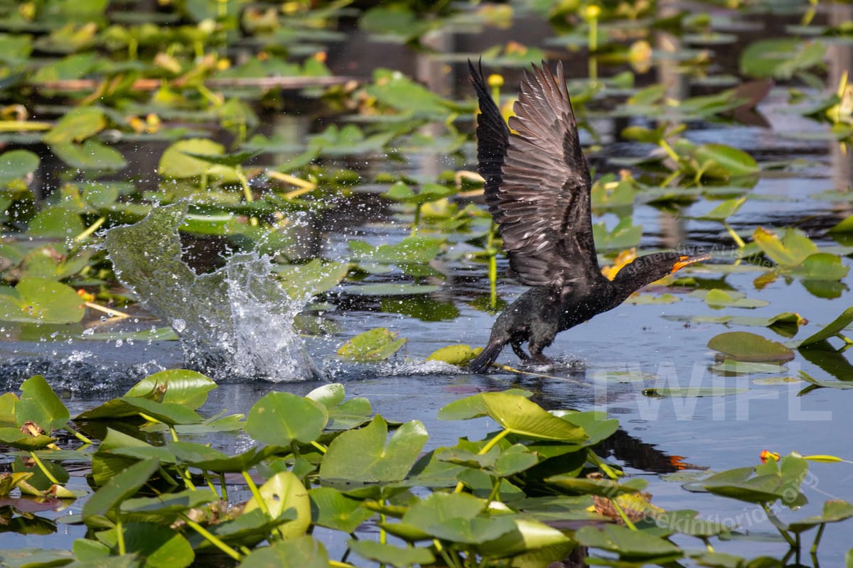
Around 200 species of birds can be found in and around the area in the map. The first image is a blue heron I photoed from the Shark Valley Visitors Center in 2024. The second is a great white egret I photoed from a similar space, I think on the same day. The third is a little birdy, I don't know the species, I photoed along Loop Road in September 2025. Photo credits Philip Cardella TWIFL Copyright 2025.
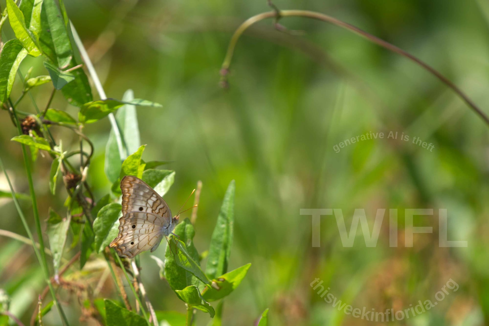
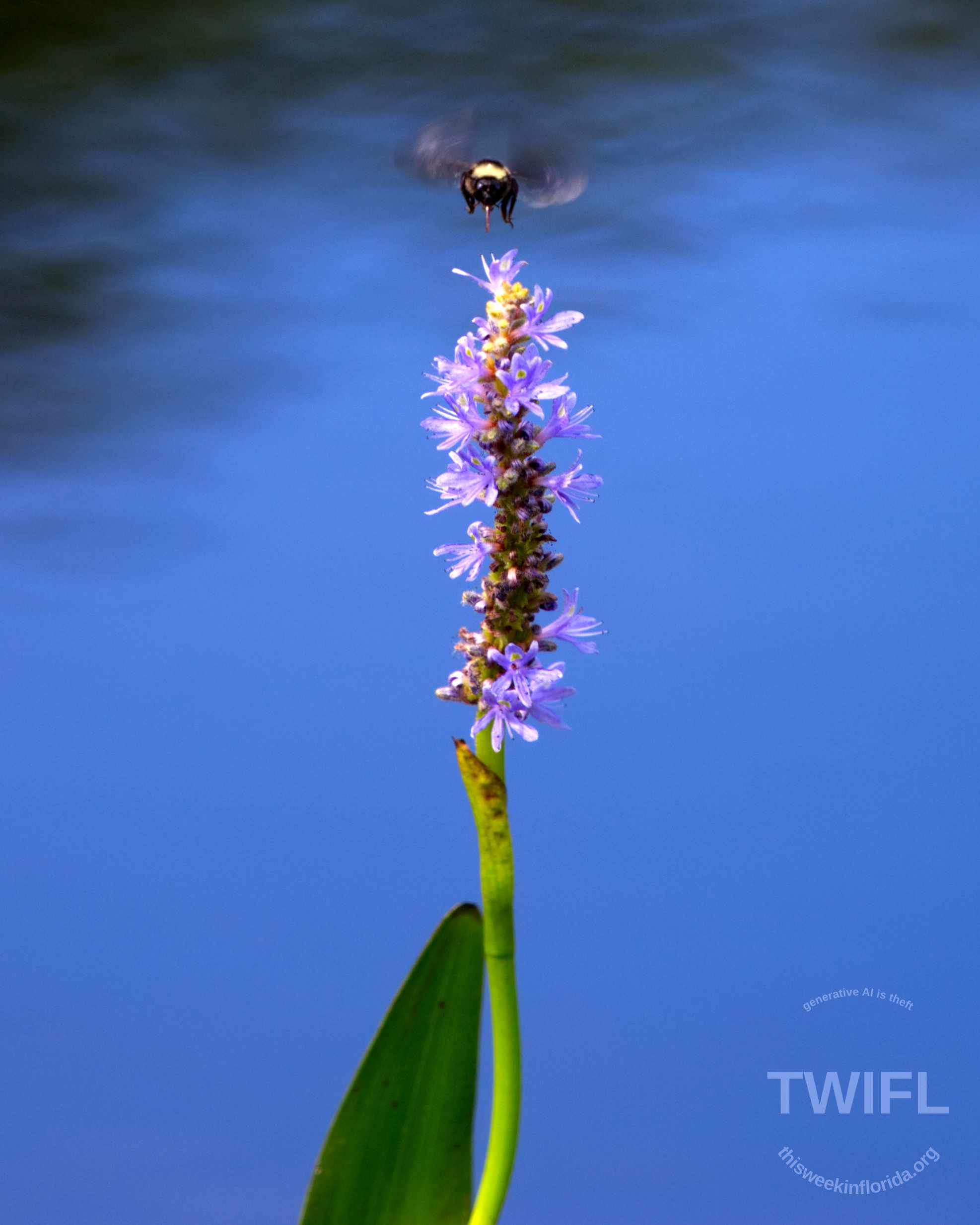
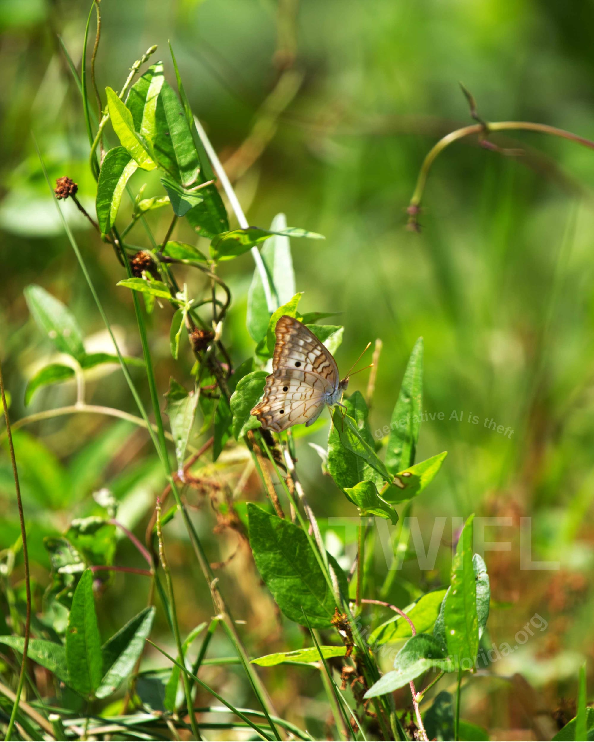
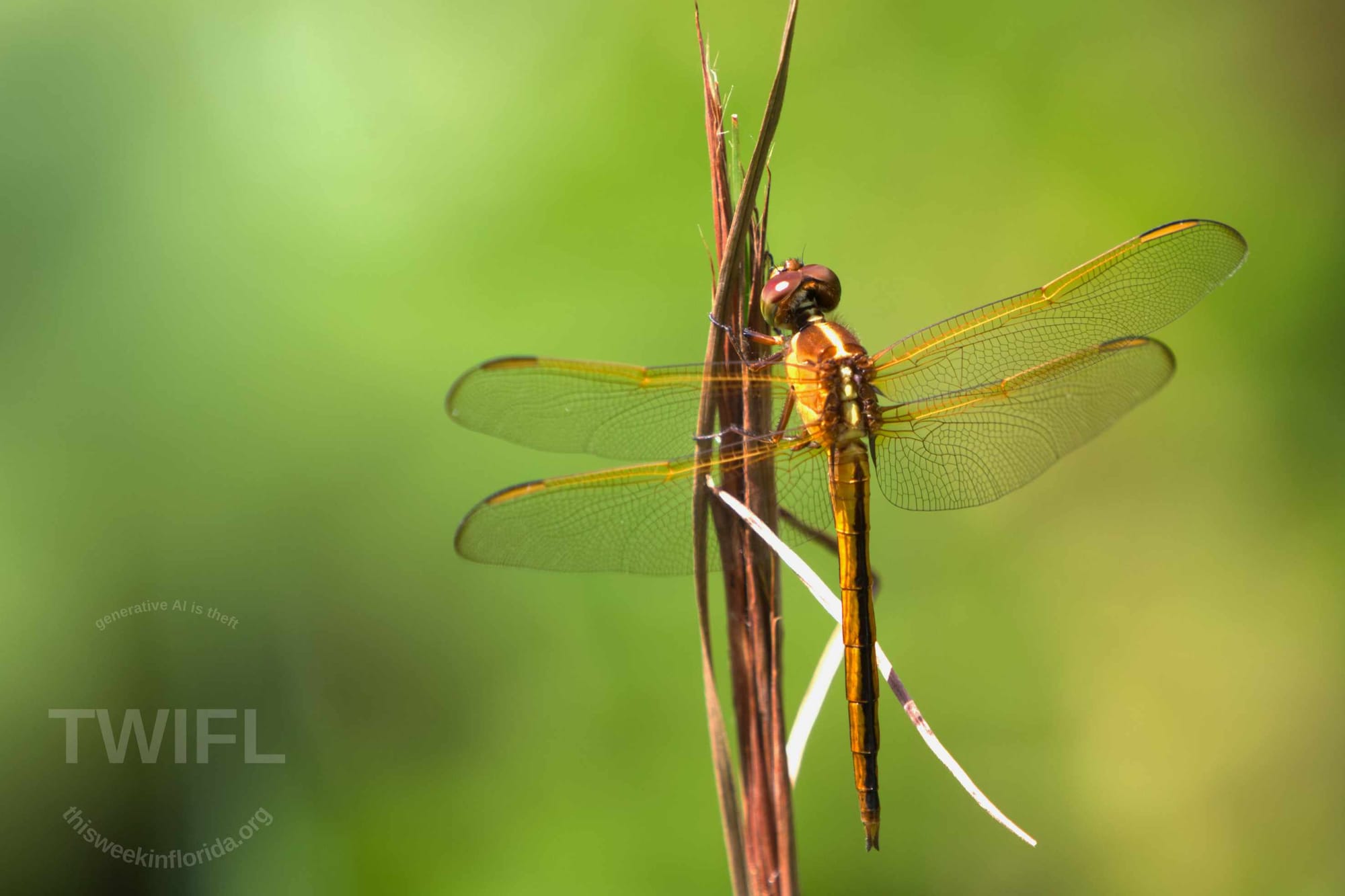
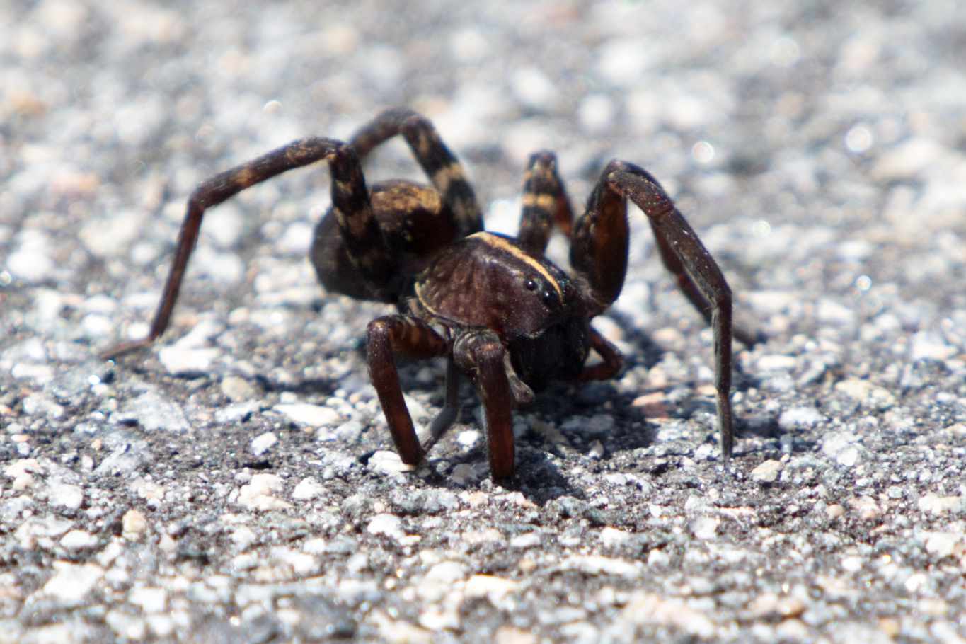
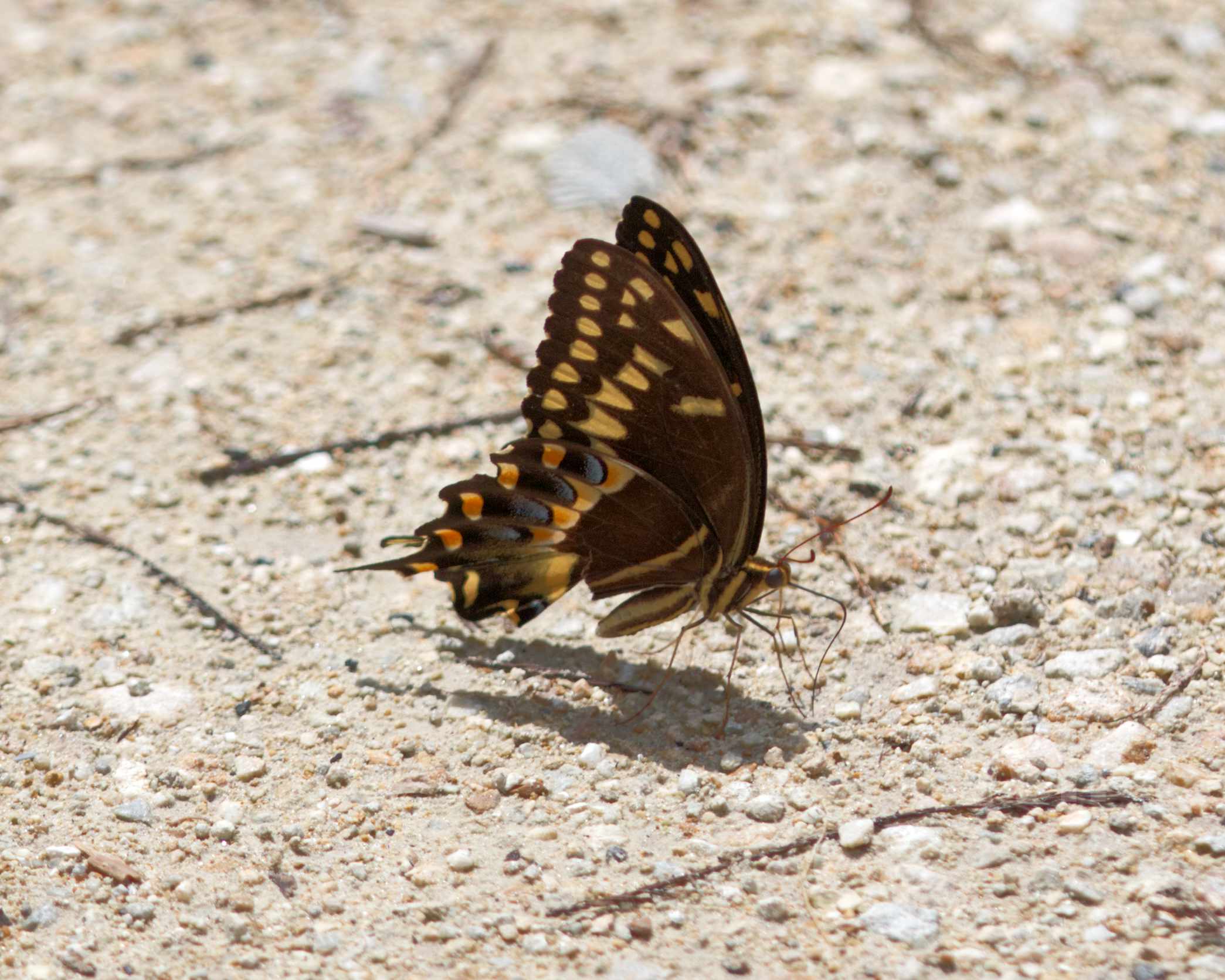
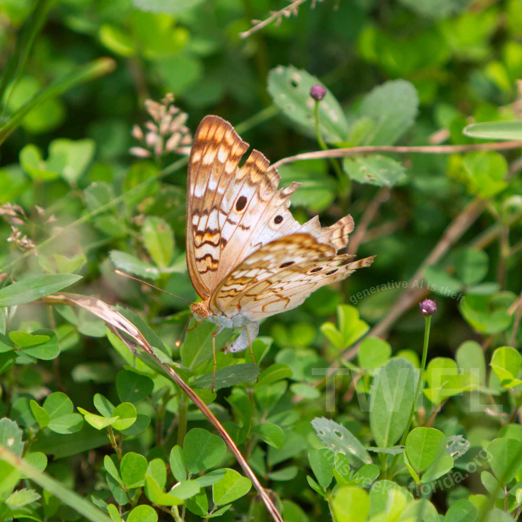
A variety of bugs (not all insects) from Shark Valley and Loop Road. Photo Credits Philip Cardella TWIFL Copyright 2025.
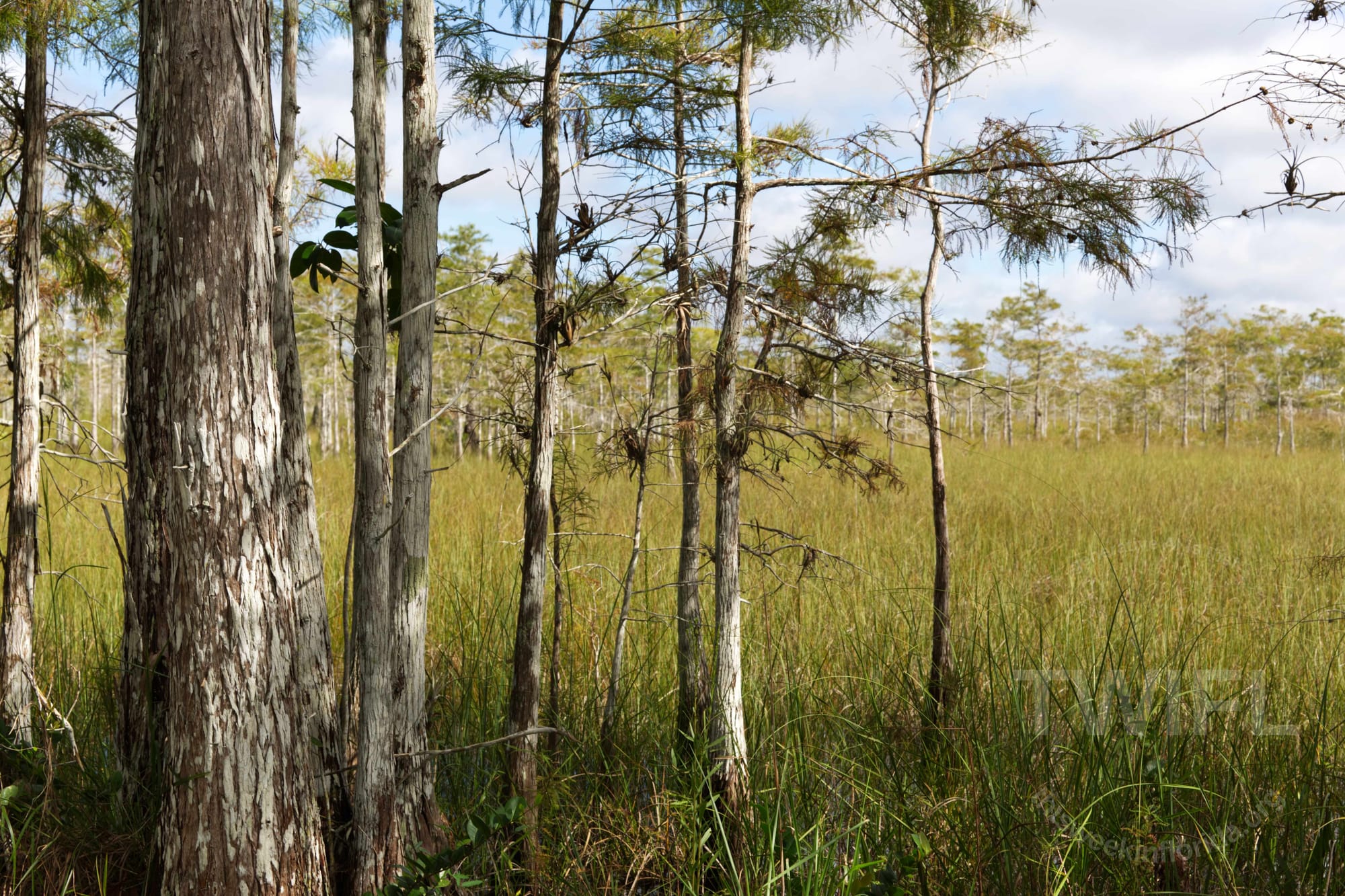
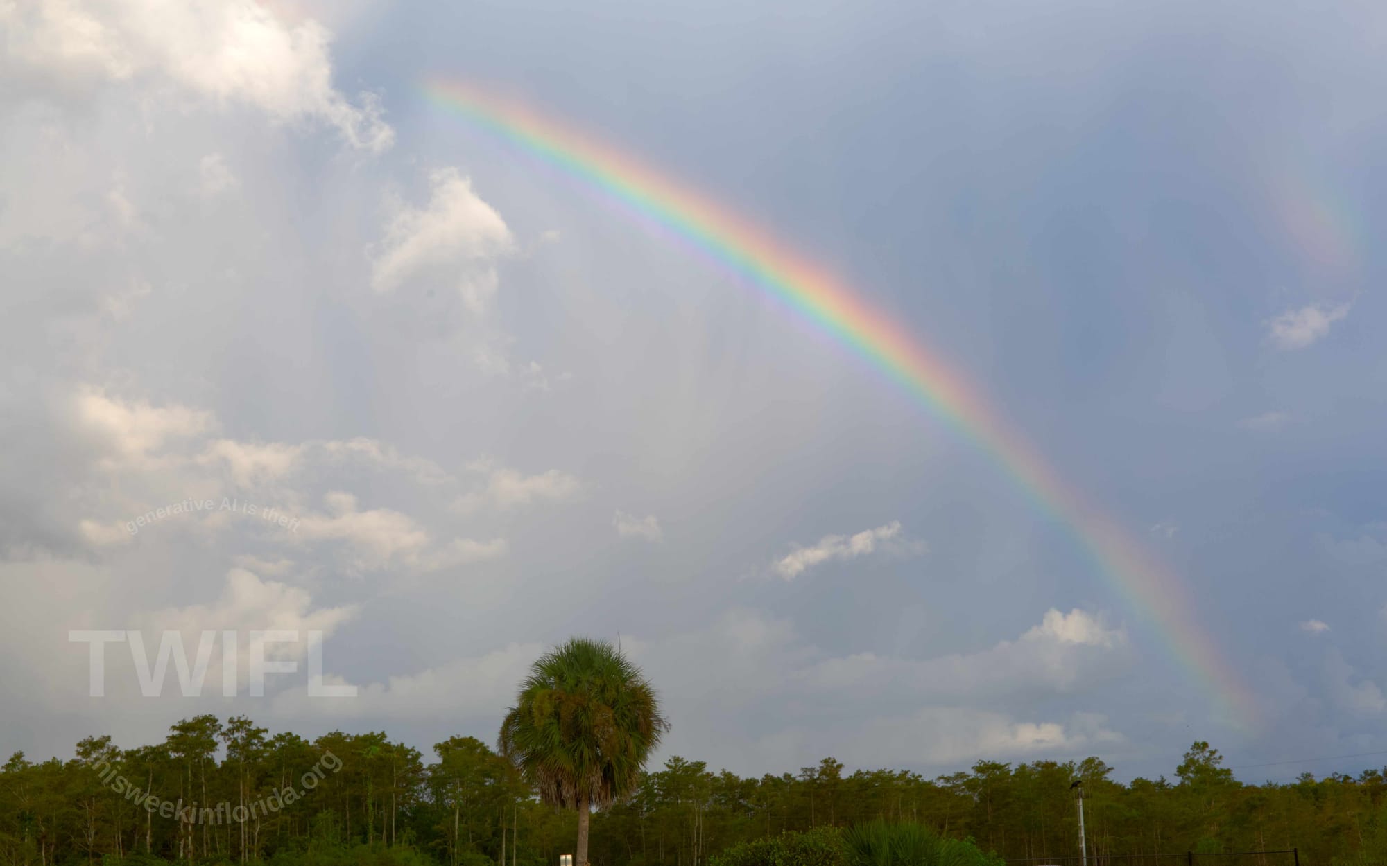
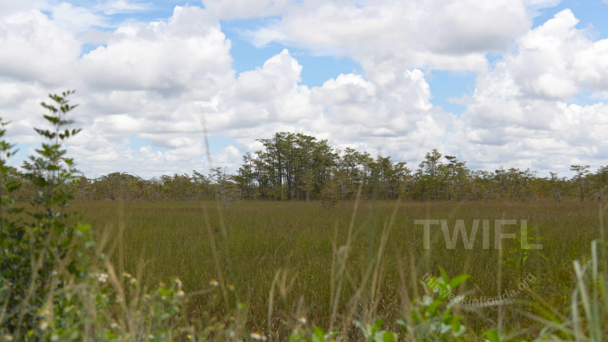
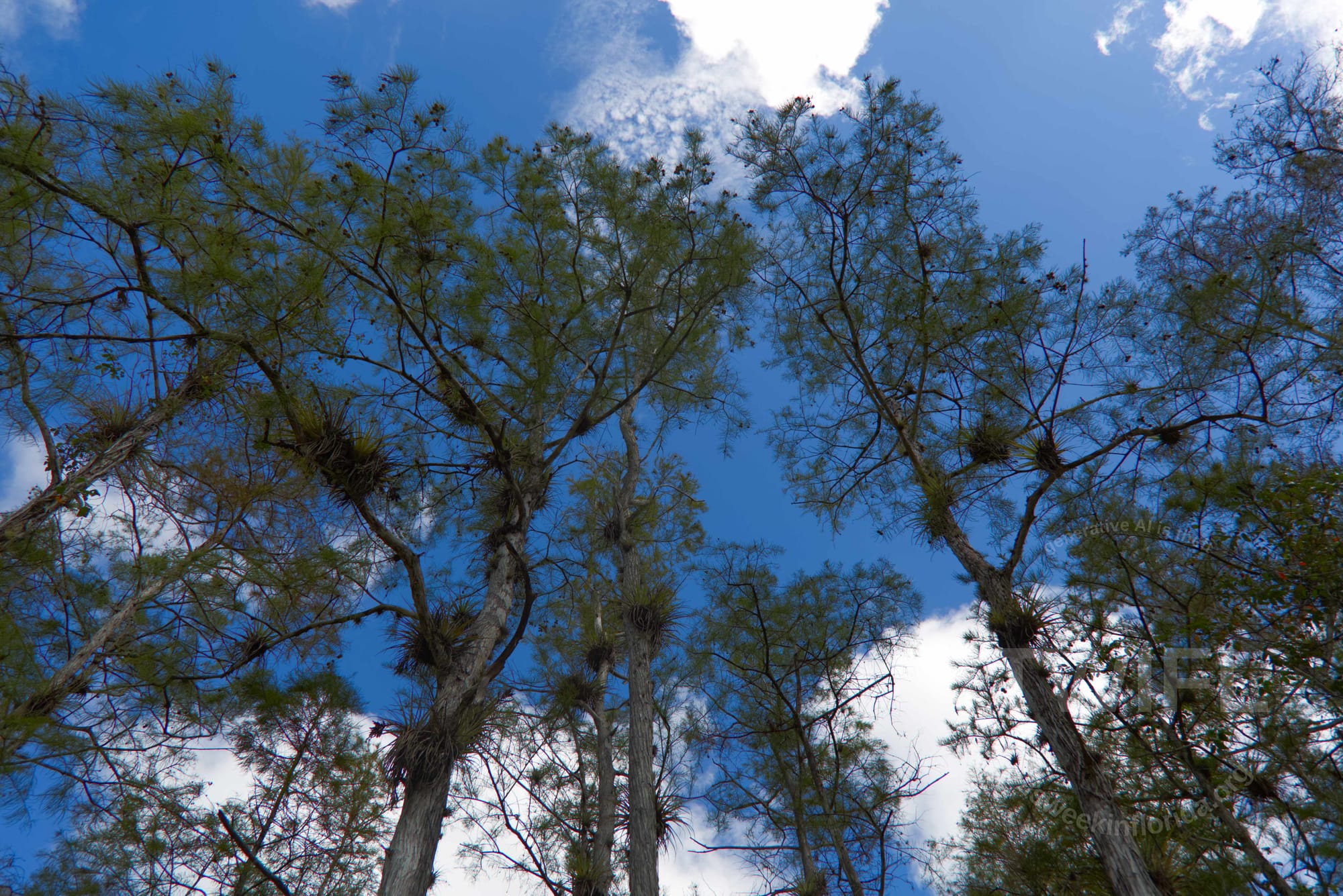
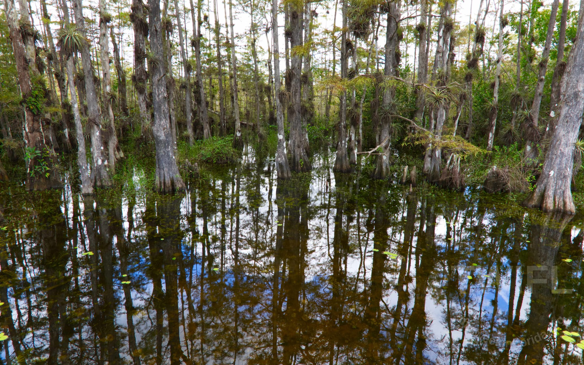
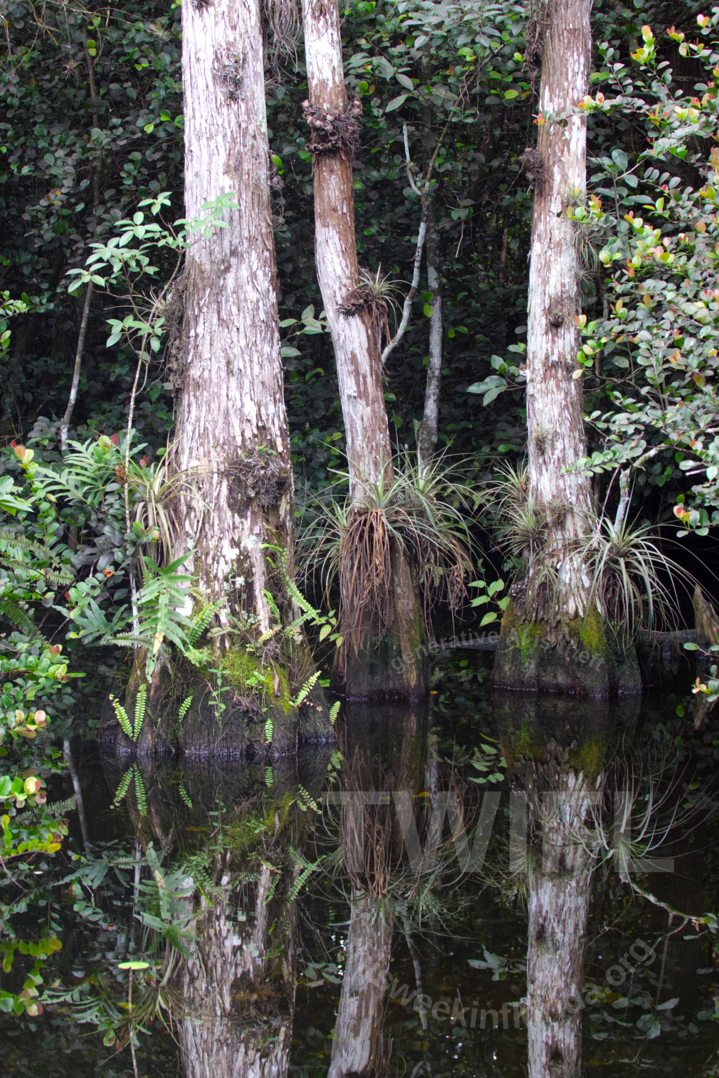
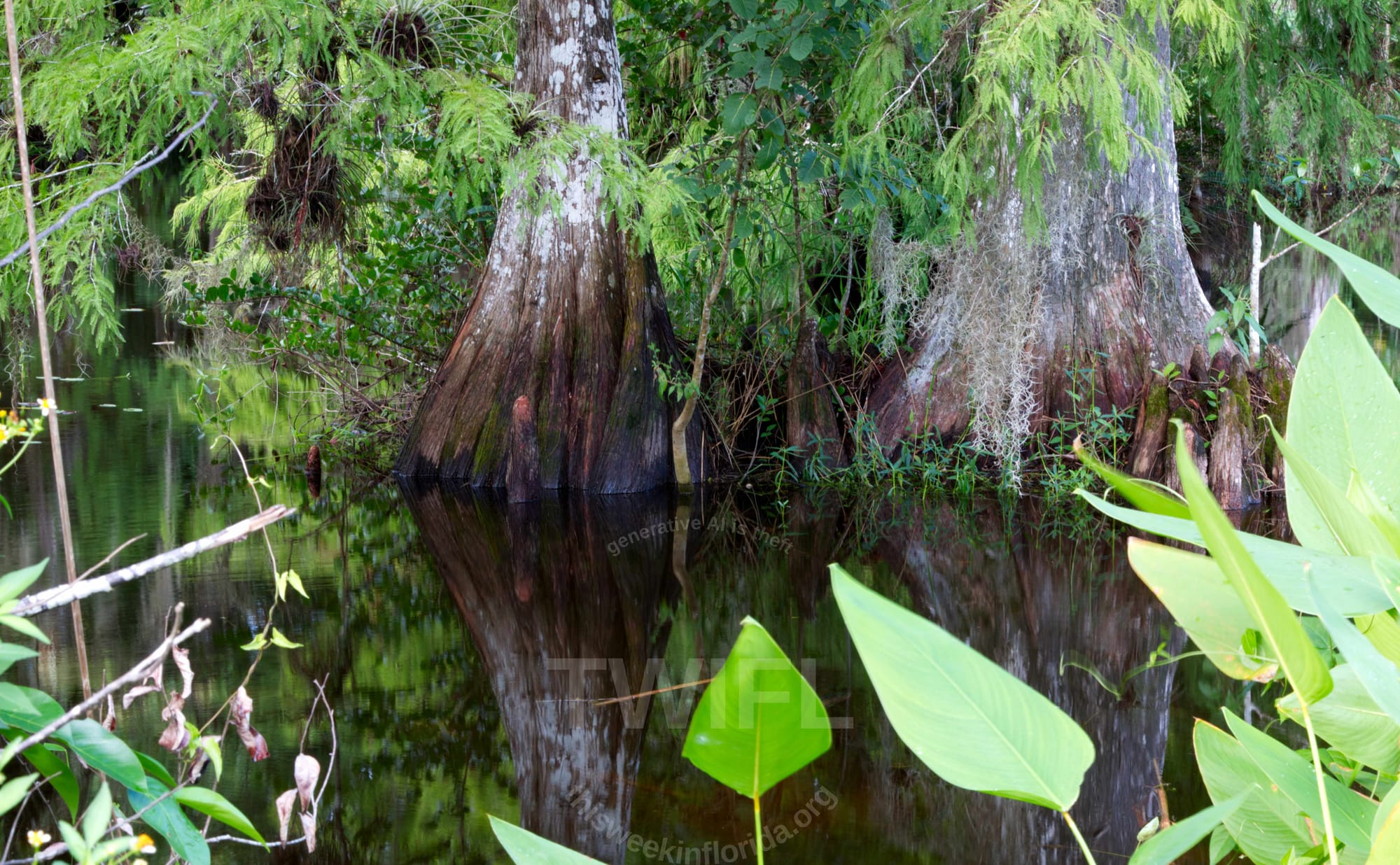
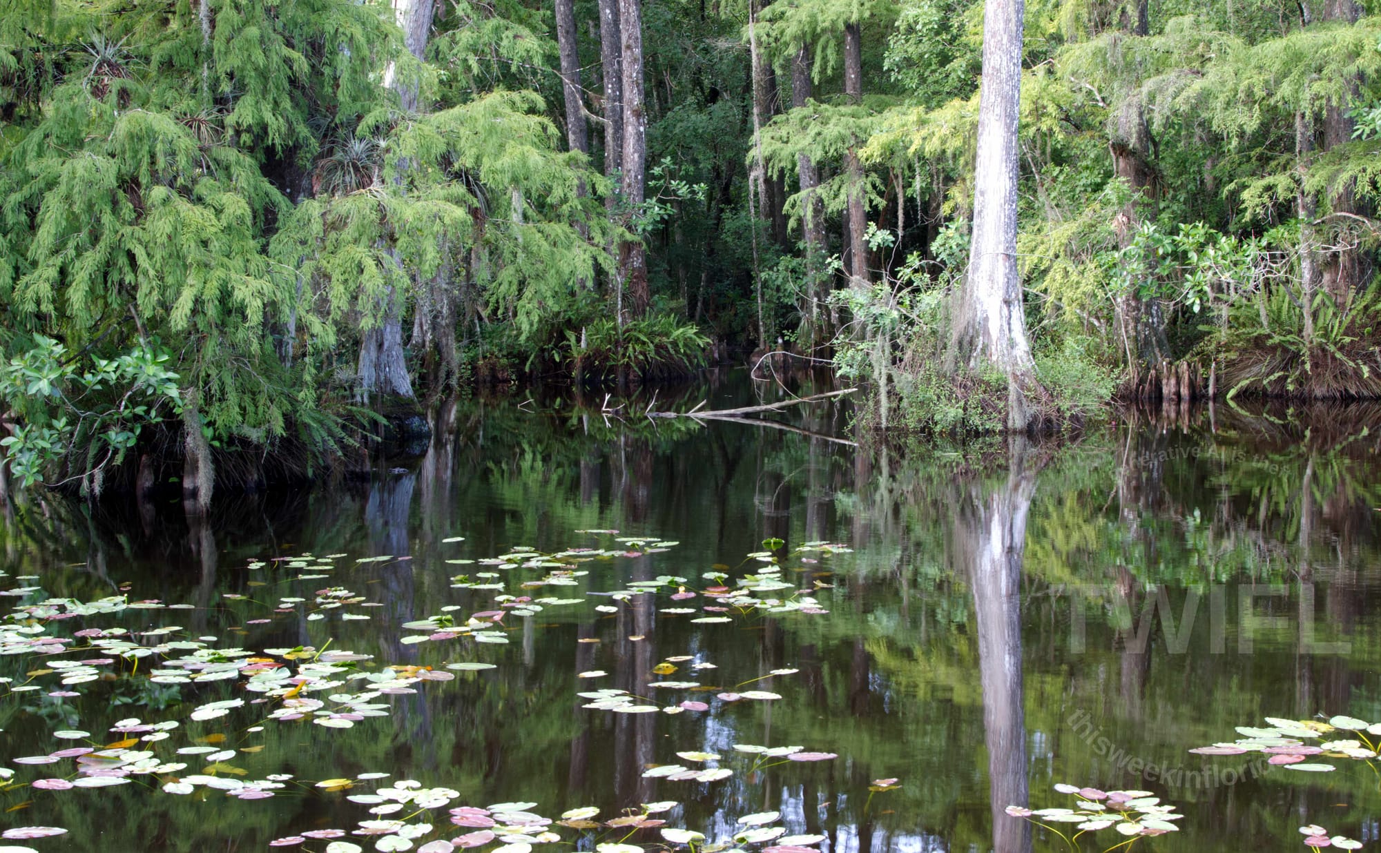
Various landscape photos captured along either US 41 or Loop Road, depending on the image. Photo Credits Philip Cardella TWIFL Copyright 2025.
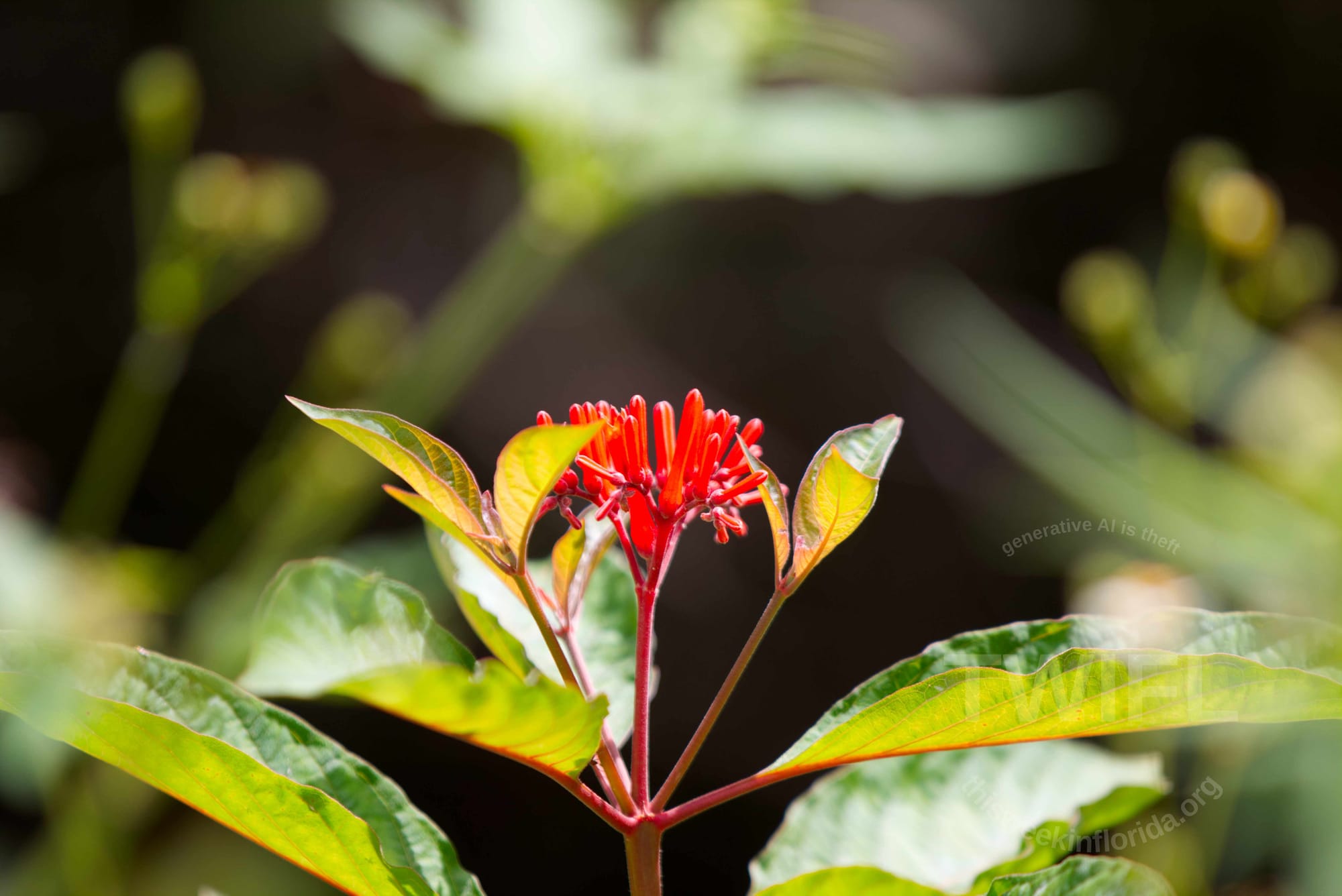
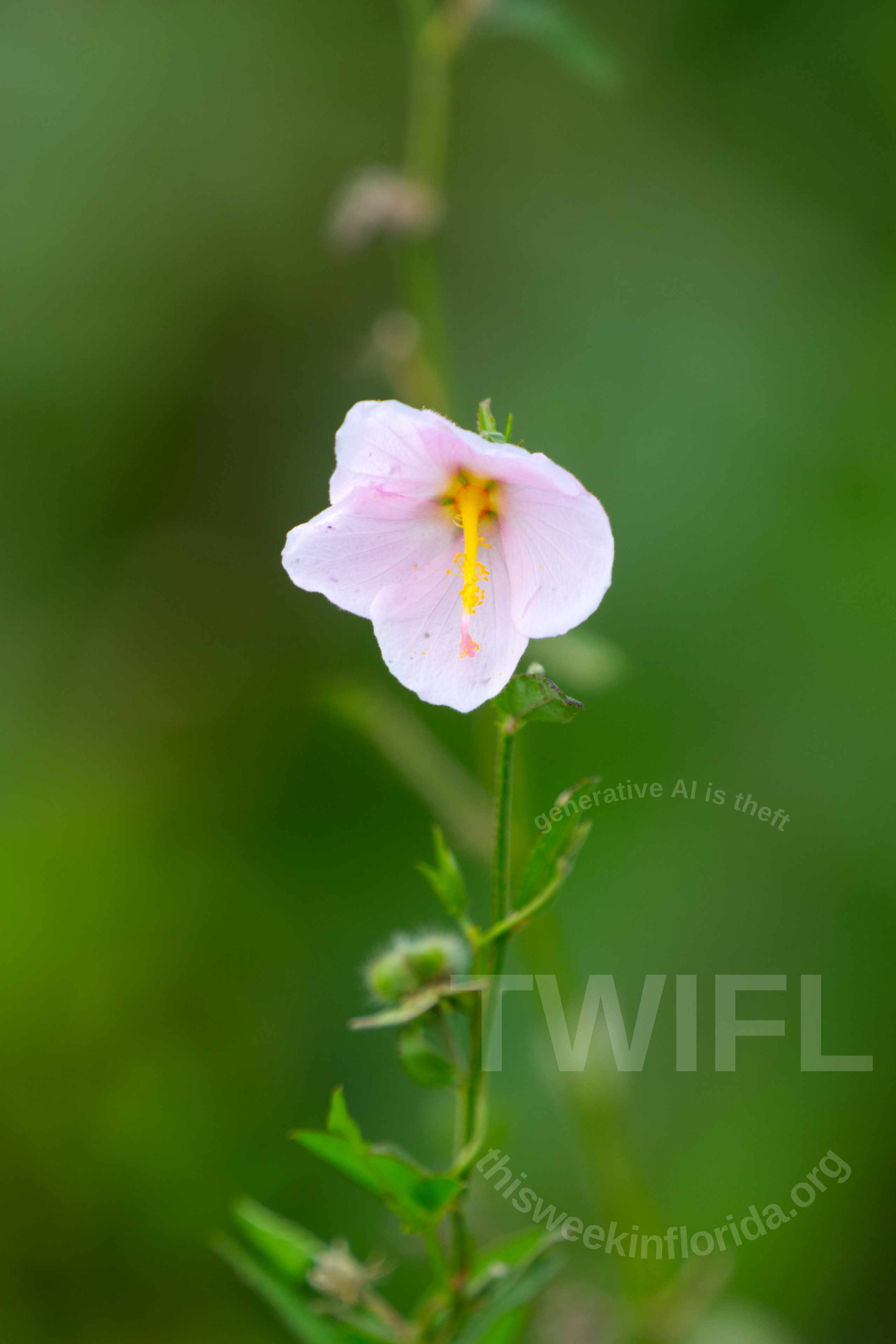
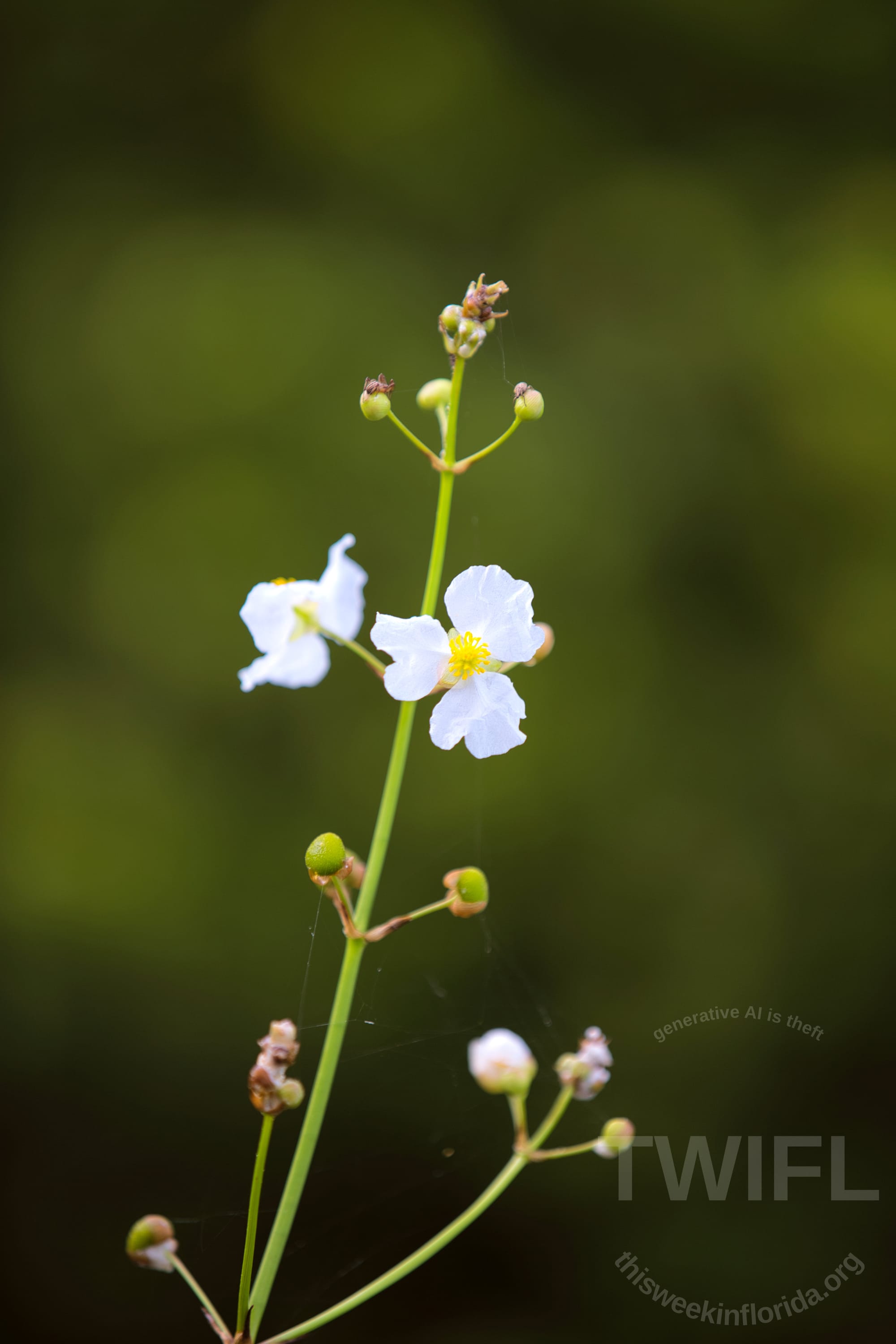
Flowers photoed in Shark Valley in 2025 and 2024 respectively. Photo credits Philip Cardella TWIFL Copyright 2025.
Many of these photos are available for sale.


